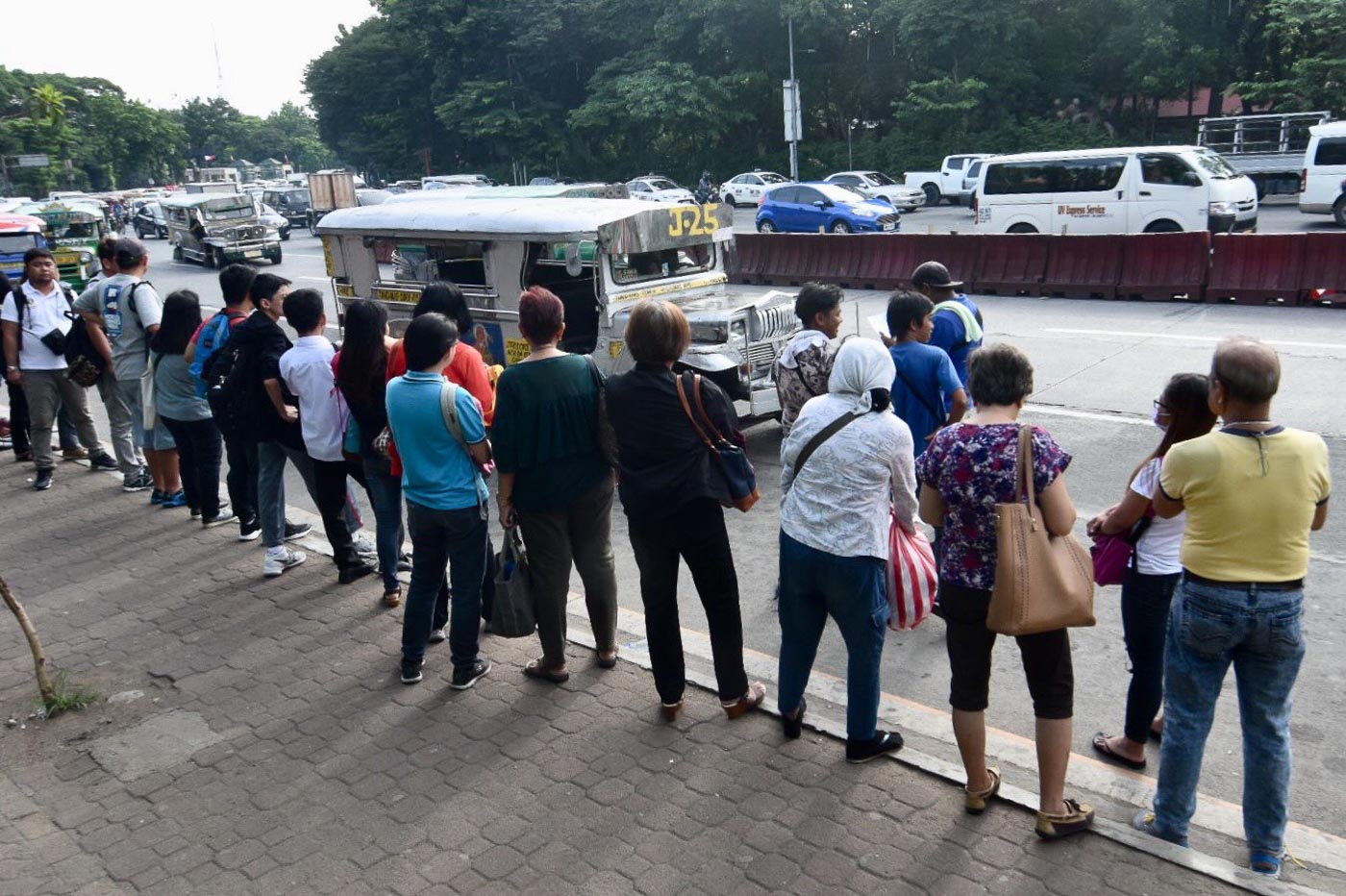
MANILA, Philippines – In a country where commuters spend hours on the road for their travels, an efficient public transportation seems like a far-fetched dream.
At the 2019 Manila Social Good Summit huddle on transportation, technologists, urban transport professionals, and experts raised on Saturday, September 21, the need to harness commuter data to improve mobility.
"It's very important to start with data. All decisions [and] policies should be derived from understanding their target customers. Where are your citizens going? There are very simple studies on origin and destination," Ira Cruz of AltMobility, a group of transport advocates, said in a mix of English and Filipino.
Cruz underscored the need to understand commuter patterns to inform policy decisions. (READ: ‘Let’s do actual things!’: Commuters huddle on solutions to address traffic)
"Before you are able to design cities that work for our citizens, we need to understand who are our citizens. You have to remember that people live in cities because the opportunities are there," he said.
Challenges
But technologist Phillip Cheang of commuting app Sakay.ph said that there are challenges to measuring commuter data, especially that such information is lacking – or in most instances, absent.
Cheang raised that capturing road traffic information is easier for navigation app Waze as it was able to tap into drivers' data for using the app. But for commuter patterns, it would difficult to automate it the same way that Waze does.
"How do you capture how many people pass by the street? How full a train car is? Of course, people are trying to do that. But those are the things that are very difficult to capture, even other countries haven't solved this," Cheang said.
"In Singapore for example, they capture a lot of data, and they capture way more data than our government does. But they still don't have those missing links," he added.
Gilian Uy of data science firm Thinking Machines said that there are talented Filipinos who can analyze such data, it's just that "we don't have that information yet."
She added that Waze has the Connected Cities Program that enables local governments to use traffic information on the platform, which is uploaded via cloud. All they have to do is to partner with them, she said.
Despite the availability of such data, Uy said limitation in government resources seemed to hinder partnerships like this.
Of course, when you harness data, it comes with the costs of storing it, especially when done online.
"Our government doesn't give enough money for storage costs because it's a couple hundred dollars or thousand dollars to support," she said.
Simple solutions
For Cheang, seeing real-time information on public transportation trips is the dream, but the Philippines can start with simple solutions.
Cheang said that the challenge lies at the hows of such intiatives: "As a technologist, it's tempting for me to say that, 'Yeah, throw sensors everywhere. It would be great if the buses already have GPS (global positioning system) to know real-time that it's there."
"But it would be better if in the first place, if there was a timetable; if it were rationalized," he added. – Rappler.com