Image may be NSFW.
Clik here to view.
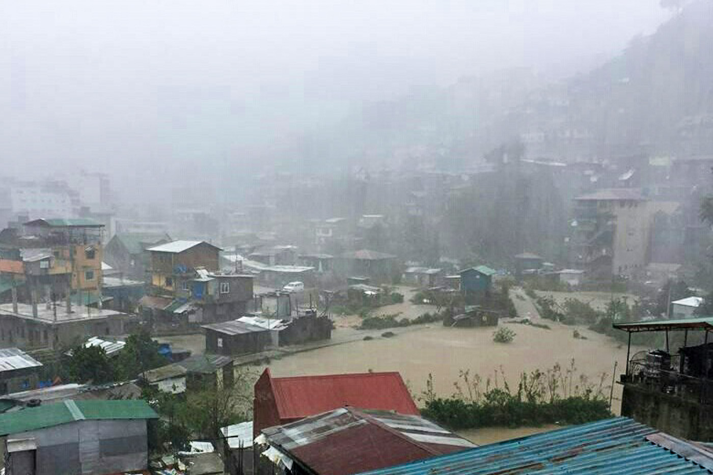
MANILA, Philippines – After Typhoon Ompong (Mangkhut) affected more than 1.4 million people back in September, some may be worried that Typhoon Rosita (Yutu) might also bring devastating effects to areas in its path.
What can people expect when Rosita makes landfall? We take a look back at Ompong to get an idea of what to expect.
Affected areas
Some areas that were in Ompong's path have reason to be wary of Rosita since the two have similarities in terms of track.
Ompong made landfall in Baggao, Cagayan, prompting the Philippine Atmospheric, Geophysical, and Astronomical Services Administration (PAGASA) to raise Signal No. 4 in the province and nearby areas.
Rosita will be heading for the southern Isabela-northern Aurora area, just a little below Ompong's trajectory. It could make landfall on Tuesday morning, October 30.
Similar to what happened during Ompong, Northern Luzon and Central Luzon are expected to bear the brunt of Rosita.
Preemptive evacuations in some coastal areas were already implemented ahead of Rosita's landfall.
Strength
Though Ompong wasn't a super typhoon under PAGASA's classification system, it was still a powerful tropical cyclone. At the time of its landfall, Ompong's maximum winds were at 205 kilometers per hour (km/h) and its gustiness was up to 285 km/h. It had a huge diameter of 900 kilometers, too.
Late Monday afternoon, October 29, or 12 hours before Rosita's projected landfall, it had maximum winds of 150 km/h and gustiness of up to 185 km/h, weaker than Ompong. Its diameter was also smaller, at 600 kilometers. (READ: FAST FACTS: Tropical cyclones, rainfall advisories)
Though Rosita is not as strong as Ompong, both are considered dangerous tropical cyclones, given that they reached typhoon status.
PAGASA warned that flash floods and landslides are possible in areas in Rosita's path. There might also be storm surges up to 3 meters high in coastal areas of Isabela, Cagayan, Aurora, Ilocos Sur, Ilocos Norte, and La Union. (READ: How to prepare for floods)
Moderate to heavy rain and strong to very strong winds are expected in Northern Luzon and Central Luzon starting Monday evening. – Rappler.com
Clik here to view.
 Image may be NSFW.
Clik here to view.
 Image may be NSFW.
Clik here to view.
 Image may be NSFW.
Clik here to view.
 Image may be NSFW.
Clik here to view.

Clik here to view.

